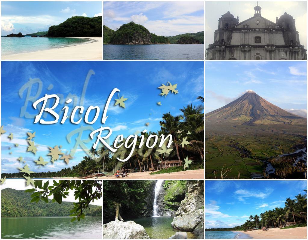
The Bicol Region or Region V, also known as Bicolandia, is one of the 17 regions of the Philippines. Bicol (also spelled Bikol) is composed of four provinces in the Bicol Peninsula, the southeastern end of Luzon Island, and two island-provinces adjacent to the peninsula. Its regional center is Legazpi City in Albay province.
Geography
The Bicol Region is located in the southernmost tip of Luzon Island, the largest island in the Philippine archipelago. The total land area of the region is 18,054.3 km2 (6,970.8 sq mi), or 5.9% of the total land area of the country. Around 69.3% of the total land area is alienable and disposable while the remaining 30.7% is public forest areas.
The region is bounded by Lamon Bay to the north, the Pacific Ocean to the east, and Sibuyan Sea and Ragay Gulf to the west. The northernmost province, Camarines Norte, is bordered to the north by the province of Quezon, thereby connecting the region to the rest of Luzon.
Geology
Bicol Region is volcanic in origin and part of the Pacific Ring of Fire. Known as the Bicol Volcanic Arc or Chain, the volcanoes are the results of the Philippine Sea Plate subducting under the Philippine Mobile Belt, along the Philippine Trench. Volcanism is evident by the number of hot springs, crater lakes, and volcanoes that dot the region starting from Mount Labo in Camarines Norte to the Gate Mountains in Matnog, Sorsogon. Mayon Volcano is the most prominent of the volcanoes in the region, famous for its almost perfect conical shape and for being the most active in the Philippines. Its eruptions have repeatedly inflicted disasters on the region, but during lulls in activity, it is a particularly beautiful mountain. The southernmost tip of the peninsula is dominated by Bulusan Volcano, the other active volcano in the region. Tiwi in Albay and the Bacon-Manito area between Sorsogon and Albay are the sites of two major geothermal fields that contribute substantially to the Luzon Power Grid.
Economy
Bicol Region has a large amount of rich flat land, and agriculture is the largest component of the economy with close to 50% depend their livelihood on the industry. Coconuts, abaca, banana, coffee and jackfruit are the top five permanent crops in the region. Rice and maize are among the chief seasonal crops of the region. Commercial fishing is also important with thirteen major fishing grounds supplying fish markets in places as far as Metro Manila. Agriculture and fishing are the major factors in the province's economy.
Mining is also one of the contributors to the region's economy. Several handicrafts, jewelry manufacturing, other small-scale industries and manufacturing enterprises bolster rural incomes.
Tourism
The region has recently seen a revival in its tourism industry, due to the popularity of Mayon Volcano, the new CamSur Water Sports Complex, whale shark spotting, among others, which consequently increased the number of upscale resorts in the region.
Owing to its location, Region V offers plenty of choices for visitors - beautiful natural features like beaches, mountains and waterfalls with lush vegetation; activities could include scuba diving to wrecked galleons, spelunking, mountaineering; or visits to man-made attractions like church architecture from the Spanish Colonial Period; etc.
The municipality of Daet and Catanduanes province have long been destinations for surfers. The opening of the Southern Luzon International Airport in Legazpi City, which is under construction, is hoped to further boost tourism in the region.
The Bicol Region has the distinct advantage in terms of tourism because of the presence of Mt. Mayon as the world’s most perfect natural cone. Add to this are beaches, natural parks and other historical, religious and archeological sites, which are favorite tourist destinations. The warmth and hospitality of Bicolanos are among the other tourism assets of the region.
On the northernmost part of the region is the province of Camarines Norte whose capital Daet, holds the distinction of being the first town to erect the monument of the country’s national hero, Dr. Jose P. Rizal. Naga City in the province of Camarines Sur is host to Colegio de Sta. Isabel, the first known normal school for girls in the Orient.
The province of Catanduanes which boasts of white beaches and resorts is an island paradise in the Pacific.
The province of Masbate, which lies exactly at the center of the Philippine Archipelago, is known for its mining and cattle industry while Sorsogon, the provinceknown for its historic and panoramic places, shelters the world’s largest fish-the whale shark locally known as Butanding.
Volcanoes of the Bicol Region
- Mount Isarog, the closest to Naga City, is a 1,966-metre (6,450 ft) fumarolic volcano with a 2.5-kilometre (1.6 mi) wide crater breached to the east. The mountain and vicinity covering 10,112 hectares (24,990 acres) is a protected area in the Bicol Region under the name Mount Isarog Natural Park.
- Mount Iriga is a 1,196-metre (3,924 ft) volcano with a large horseshoe-shaped collapsed crater located adjacent to Lake Buhi (foreground).
- Mount Malinao is a 1,548-metre (5,079 ft) volcano with a large crater about 3km at its widest, which is breached to the east, the geothermal fields of Tiwi is located on its lower eastern slope.
- Mount Masaraga is a sharp-topped 1,328-metre (4,357 ft) Holocene volcano NW of Mayon.
- Mayon Volcano, the highest at 1,196 metres (3,924 ft), is also the most popular in the region for its beautifully symmetrical cone. It is also the most active in the country. The volcano is one of the protected areas of Region V under the name Mayon Volcano Natural Park encompassing 5,776 hectares (14,270 acres).
- Pocdol Mountains with its highest elevation at 1,102 metres (3,615 ft) is a fumarolic group of volcanoes situated between Albay and Sorsogon provinces. It is the location of the Bac-Man Geothermal Power Plant and the PNOC Eco-Park, a 25,100-hectare (62,000-acre) ecotourism park maintained and protected by the Philippine National Oil Company (PNOC).
- Bulusan Volcano, the other active volcano of the region, has an altitude of 1,565 metres (5,135 ft). It is located on the remains of the 11-kilometre (6.8 mi) Irosin Caldera. The volcano is a protected area and the centerpiece of the 3,672-hectare (9,070-acre) Bulusan Volcano Natural Park.
Topography
The region is generally hilly and mountainous except for a few stretches of plains extending from Camarines Sur to the southwestern part of Albay and several smaller coastal and inland plains in other parts of the peninsula. It has many rivers, lakes, bays, mountains, volcanoes, and waterfalls, caves and springs. The beautiful and interesting spots are well distributed in the area. The region is dotted with volcanoes with the imposing and majestic Mayon Volcano as the most domiant.
Bicolano People
Though described by the Spanish missionaries as the friendliest race in the Philippines, gentle, temperate and religious, the Bicolanos fiercely resisted the first attempts to subdue them in 1573. Fr. Martin de Rada reported how they refused to surrender unless forced into it by superior arms. Their chiefs bravely opposed the Spanish forces led by Salcedo's officer, Captain Pedro Chavez, who established the Spanish city of Caceres next to the indigenous village of Naga.
Language/Dialect
Filipino is the official dialect although the English language is widely used especially in schools and in business transactions. Bicol is the official dialect. This varies, through, among the different municipalities and provinces.
Transportation
With its strategic location in the Philippine archipelago, the region is easily accessible by land, air and sea transportation facilities.
The region maintains and operates eight functional airports, Legazpi Airport; the only trunk line airport in the region has landing facilities that can accommodate aircraft like Boeing 737 jets.
Gallery


Calaguas Island Caramoan Island


Lake Bulusan Masbate White-sand Beach


Mt. Mayon Naga Metropolitan Cathedral

Nahulugan Falls


