


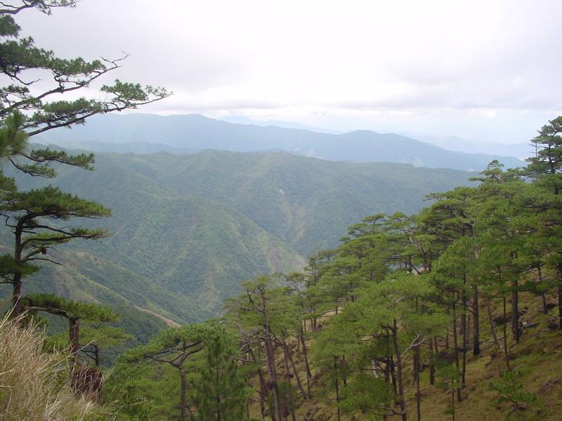
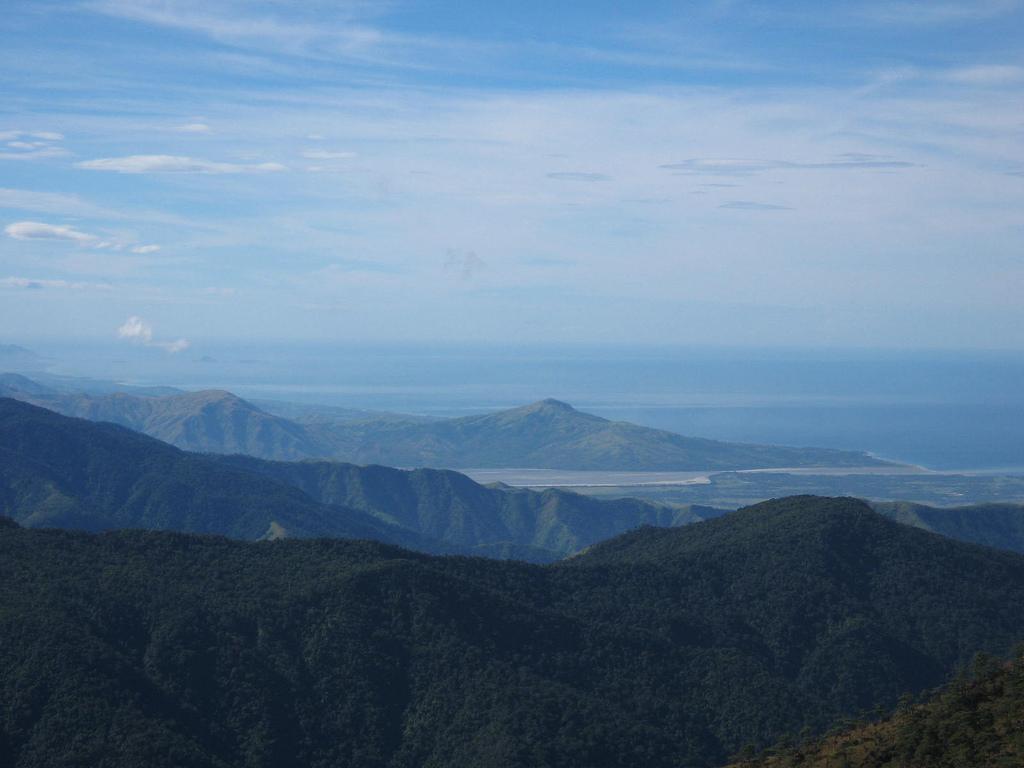
At the summit of Mount Tapulao viewing the Pine Forest or 'Tapulao' in the Sambal language
Overview
Mount Tapulao, known as “High Peak”, can be found in the beautiful province of Zambales. It is the tallest peak in the Zambales Mountain Range. It is also called as the “Poor Man’s Pulag” because the mountain is similar to Mt. Pulag of Benguet in terms of temperature and greenery. People say that the mountain could be a more accessible alternative to Mount Pulag.
Mount Tapulao has an elevation of 2,037 meters or 6,683 feet above sea level. It is situated in the town of Palauig. The name of the mountain came from the abundance of Sumatran Pine Trees which are known in the local Zambal dialect as “Tapula.”
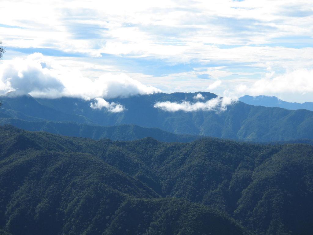
At the top of the mountain, you can spot the 360-degree view of the province. The other parts of the Zambales Province can be spotted at the east side, the Lingayen Gulf at the north, Zambales lowlands at the west, and the China Sea stretches to Pundaquit in San Antonio, Zambales at the south.
Different kinds of insect, birds, flowers, and plants can be seen in the area, capturing your interest during your hike. The peak can be reached in two to three days. Mount Tapulao has a cooler temperature than Baguio.
It’s better to start your trek before the sunrise. Make sure to bring jackets and leg warmers because the temparature drops a few degrees at night. There are two water sources along the trail which are placed near the bunkhouse. Mountaineers can take a rest in that area and get water before continuing the trek.
Hiking activity
The trail to the top of Mount Tapulao is on rolling and gradual terrain that takes hikers through a number of distinct ecosystems: from lowland grass and scrubland dominated by talahib (cogon grass) to its flanks of secondary to primary dipterocarp forest, mossy montane forest and pine forest above 1,800 metres (5,900 ft) that extends to the adjacent mountains.
During wet weather, limatik or forest leeches abound especially near the streams along the way. Parts of the trail become rivulets that trekkers easily attract these critters without noticing being bitten, sticking on the human skin.
From Palauig
Mount Tapulao can be reached by trekking the mining road on a ridge on the side of the mountain with the forest line starting at about 1,875 metres (6,152 ft).
The jump-off point is from the Dampay resettlement area in Brgy. Salaza in Palauig, which is around 8 kilometres (5.0 mi) from the Zambales Regional Highway on rough road. From the trailhead at Brgy. Dampay to the summit is around 18 kilometres (11 mi). Residents of Dampay are evacuees from the foot of Mount Pinatubo and are the "self-appointed guardians" of Mt. Tapulao under the coordination of the Municipal Tourism Authority of Palauig, Zambales.
The ascent can be done in 7-8 hours while the descent can be covered in half the time. Guest and tourist aiming to climb the mountain are required to register at the barangay hall to receive further safety, security and cooperation according to the rule and guidance of the tourism authority. Farther down the settlement is a trail leading to the jump off-point for the Bagsit River whitewater river rafting.
Traverse hike
A traverse hike is also possible starting from the eastern side of the Mount Tapulao in Brgy. Labney in the town of Mayantoc in Tarlac province, ending in Palauig, or vice versa. The trail from the northwest is longer and a much more challenging route than the one from Zambales, but the reward is a more diverse environment and fauna.
Eco-system
Department of Environment and Natural Resources (DENR) region 3 has signed a memorandum of agreement for the protection and development of 5,000 hectare Mt. Tapulao.
Sangguniang Bayan (SB) of Iba, Zambales came out with an ordinance declaring the town’s part of Mt. Tapulao as an eco-tourism destination and a protected area.
About the Registration
Local people manage the registration of the area. You need to pay a small amount of money for the entrance fee. The payment is 30 pesos per person. You can also hire a tour guide or a porter.
Did You Know
Americans visited the mountain in 1960s and called Mount Tapulao as “High Peak,” a name that stuck until now.
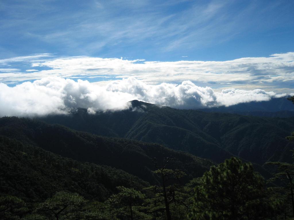
Gallery


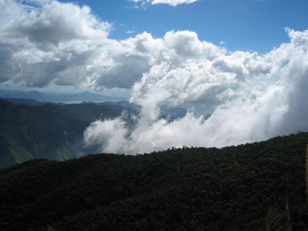
Facsinating shots from Mt. Tapulao
Accommodations
- Kamana Sanctuary Resort and Spa
Nabasan Beach Ilanin Forest West District, Subic (Zambales), Philippines
- Wild Orchid Beach Resort
Baloy Long Beach, Barrio Barreto, Subic (Zambales), Philippines
- Subic Holiday Villas
George Dewey Convention Center Complex, Kalayaan Heights, Subic (Zambales), Philippines
- Grand Hoyah Hotel
Lot 5B & 6, Manila Ave.(Interior) cor. Canal Road, Freeport Zone, Subic (Zambales), Philippines 2222
- Subic Park Hotel
Location: Moonbay Marina Waterfront Road, Freeport Zone, Subic (Zambales), Philippines 2209
How to get there
You can reach Mt. Tapulao by riding a bus from the Victory Liner terminal in Caloocan. Take the trip going to Iba, Zambales. The bus will pass along NLEX or North Luzon Expressway.
From the Iba Victory Terminal, ride a tricycle going Sitio Dampay, Dampay-Salaza, the jump-off point to the mountain. The fare is very expensive but the price is negotiable.